Today was the most technically difficult day of the PCT so far. There were creek crossings, mountain passes, and extremely steep snow descents.
The morning started with my friend trying to cross Spiller Creek. The water had gone down considerably and he was ready to give it a go. He faired a little better than I did. He didn’t go totally in the water, but he got pretty wet.
Lucky for him, today started with a steep climb so he could warm up. With almost no trail in sight, the climb was slow going. Hike a bit, see where you were; hike a bit, see where you were; and on and on.
After the climb was a steep descent. The trail was hard to find so going straight down was the easiest. its amazing what kind of slope your shoes can take you down.
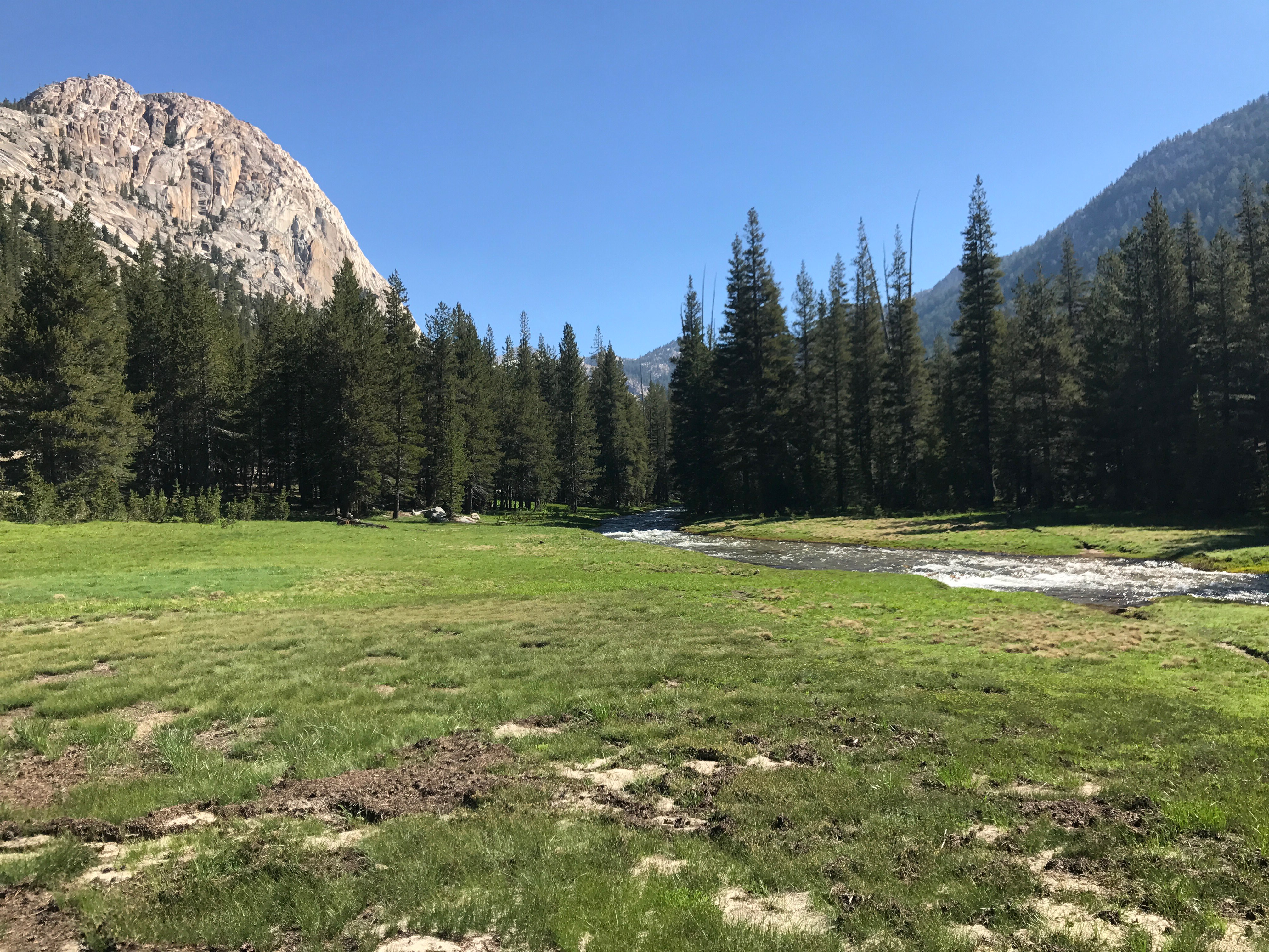
Eventually, I made it to our first creek crossing of the day, Matterhorn Creek. The crossing was in a meadow so it was shallow and easy. I took a break and had some food. Usually in the morning I have a tortilla with chocolate peanut butter and Cracklin’ Oat Bran cereal.
After a nice flat section, the trail climbed up beside Wilson creek. It would weave back and forth across the creek as it went up. The first two crossings were simple, but as we climbed higher the creek got steeper and had some pretty big rapids. So when I saw a large snow bridge, I took the opportunity and crossed a little early. I bushwhacked up the rest of the way.
From here, I would climb Benson Pass, one of the last few passes of the high Sierra. It wasn’t steep and the climb was pretty short. All in all it was an easy day so far.
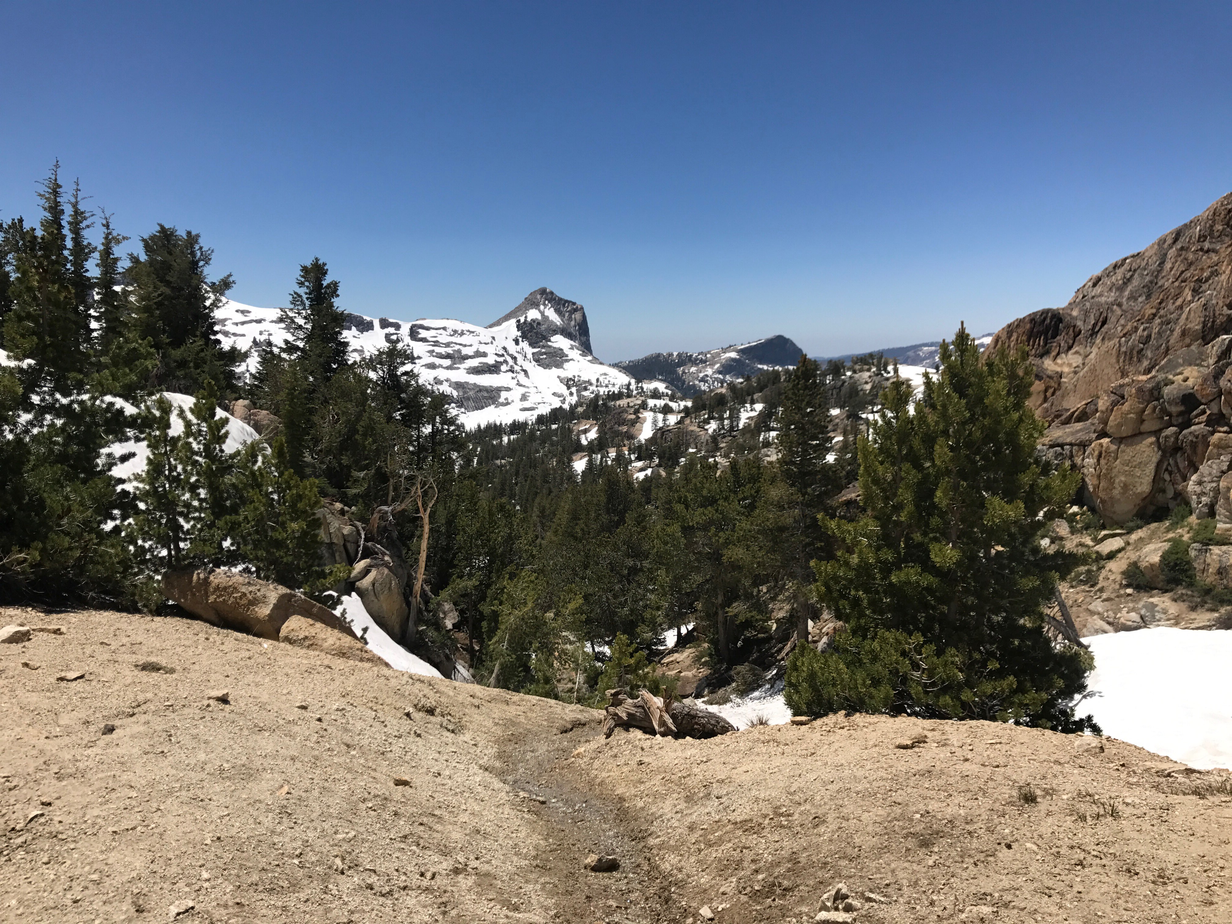
After descending from the pass, I made it to Smedberg Lake. I was thinking this would be a good place to wait for my friend and even camp for the night if he couldn’t get any farther. I had waited for him awhile at the top of the pass and he hadn’t shown up. Unfortunately the lake was totally snow covered, so camping wasn’t a great idea. So far on our hike the snow level has been at about 10,000 feet. For some reason, in Yosemite, the snow lingered way longer at lower elevations in certain places.
This is where I goofed a little. I misread the map and thought it would be all downhill to the next big creek crossing and I could just camp there. Unfortunately, I had to climb a very steep, mostly snow covered slope first. Then I had to come back down an even steeper slope. There was nowhere to camp and I was committed to at least two more creek crossings. As it got later in the day, this concerned me because the water gets higher as the day goes on. I also wasn’t sure if my friend was going to be able to catch up that night.
The descent was the steepest descent of the PCT so far. I was borderline rock climbing in a few places and I got cliffed out at least a couple times. I had to go back and find a different route more than once. Luckily, as I descended, the trail showed up more and it eventually was almost totally showing. The first creek crossing was easy, since it was near where the creek forms from several smaller ones.
As I kept going down, the creek I would have to cross again got bigger and bigger. It looked terrifying. I wasn’t sure if I’d be able to cross it and I didn’t know where I would camp. Fortunately, the trail flattened out and so did the creek. It was still going pretty strong, but pretty shallow. Just as I was about to get in the water, I saw a fallen log leading to a perfect campsite.
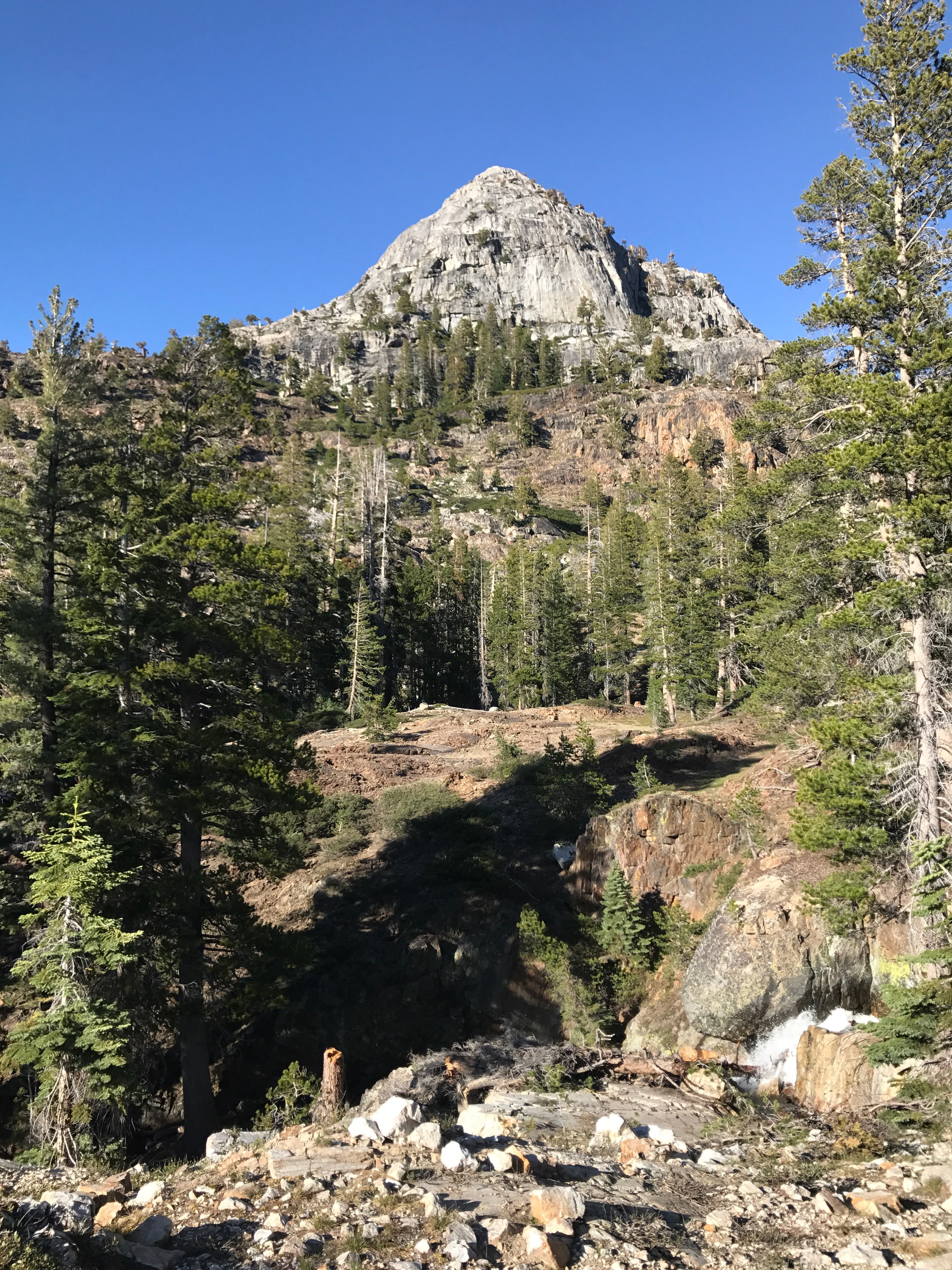
I crossed the log and got this view.
My goal for the day was actually a bit further than I went. I stopped hiking pretty early to give my friend a chance to catch up.


