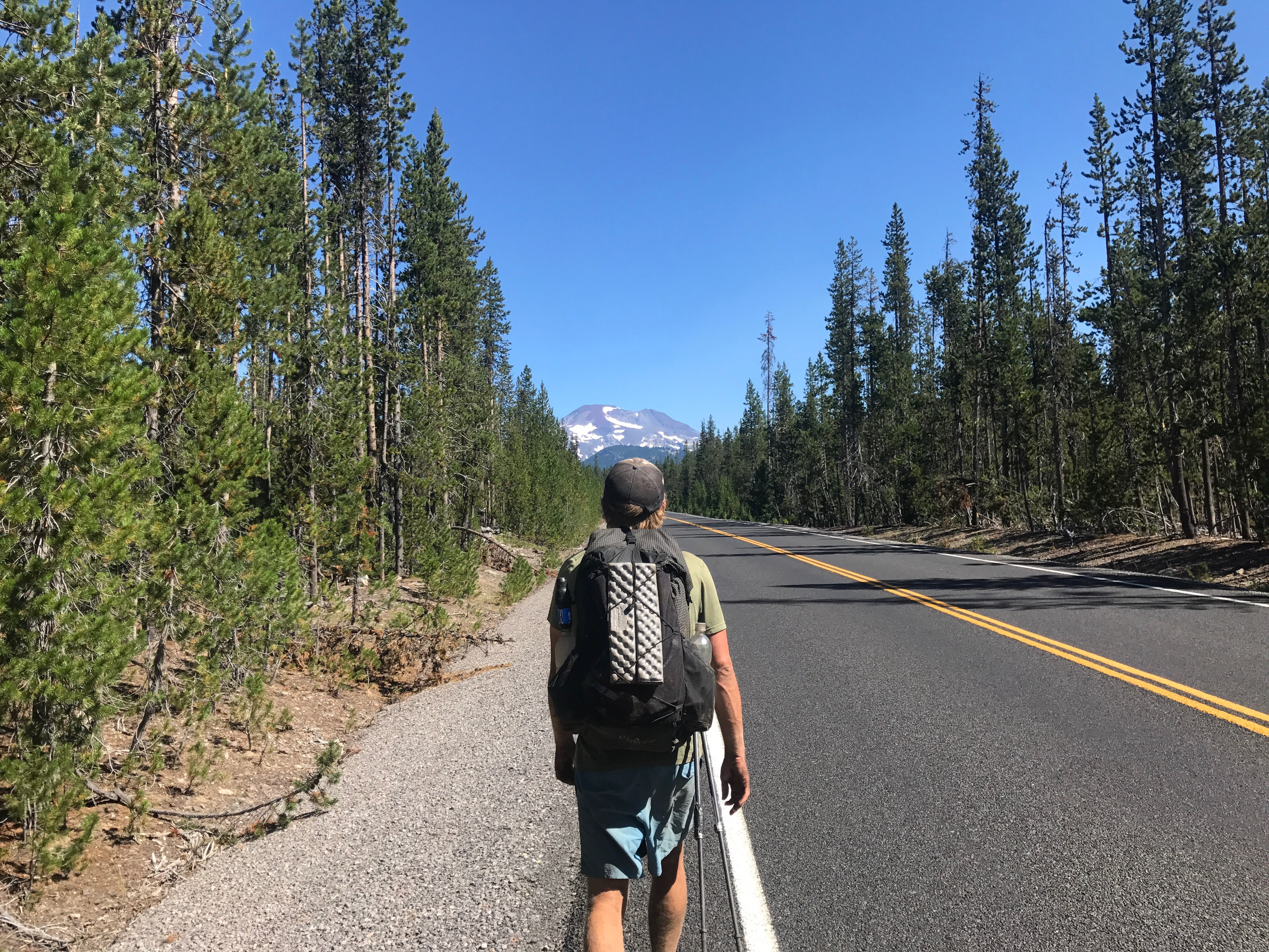
Today we would be running into a fire closure on the PCT. We had 10 miles before getting to a junction that went to Elk Lake Resort, with views of Mt Bachelor. We hiked the 10 miles quickly and then took a break to enjoy some cell phone service in view of the ski area.
The PCTA (Pacific Crest Trail Association) had updated their info about the fire and given a map of the detour. This was nice, because up until now they’ve been useless when it comes to the fires. The detour involved a 5 mile road walk on the highway, followed by 21 miles of trail and then a 15 mile forest road walk into town.
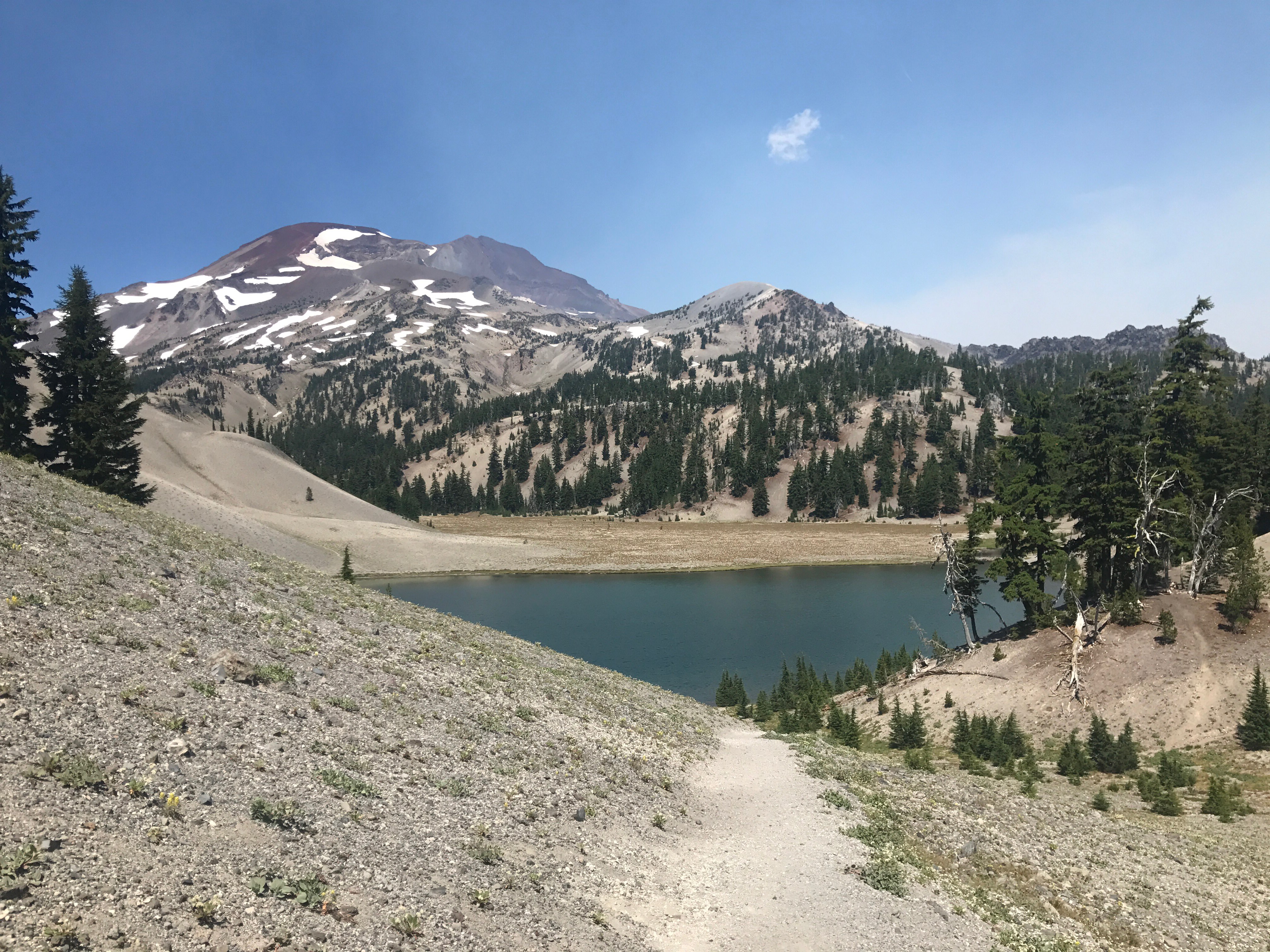
I guess the fires were on the west side of the Three Sisters, because our detour took us east and actually part way up the south sister climber’s trail. Then we walked past huge lakes in the shadow of the three sisters.
This area was beautiful and we had views of all three sisters and Broken Top, an impressive mountain we wouldn’t be able to see from the PCT. We even heard from some locals that this was the more scenic side. After what I saw today, I believe them.
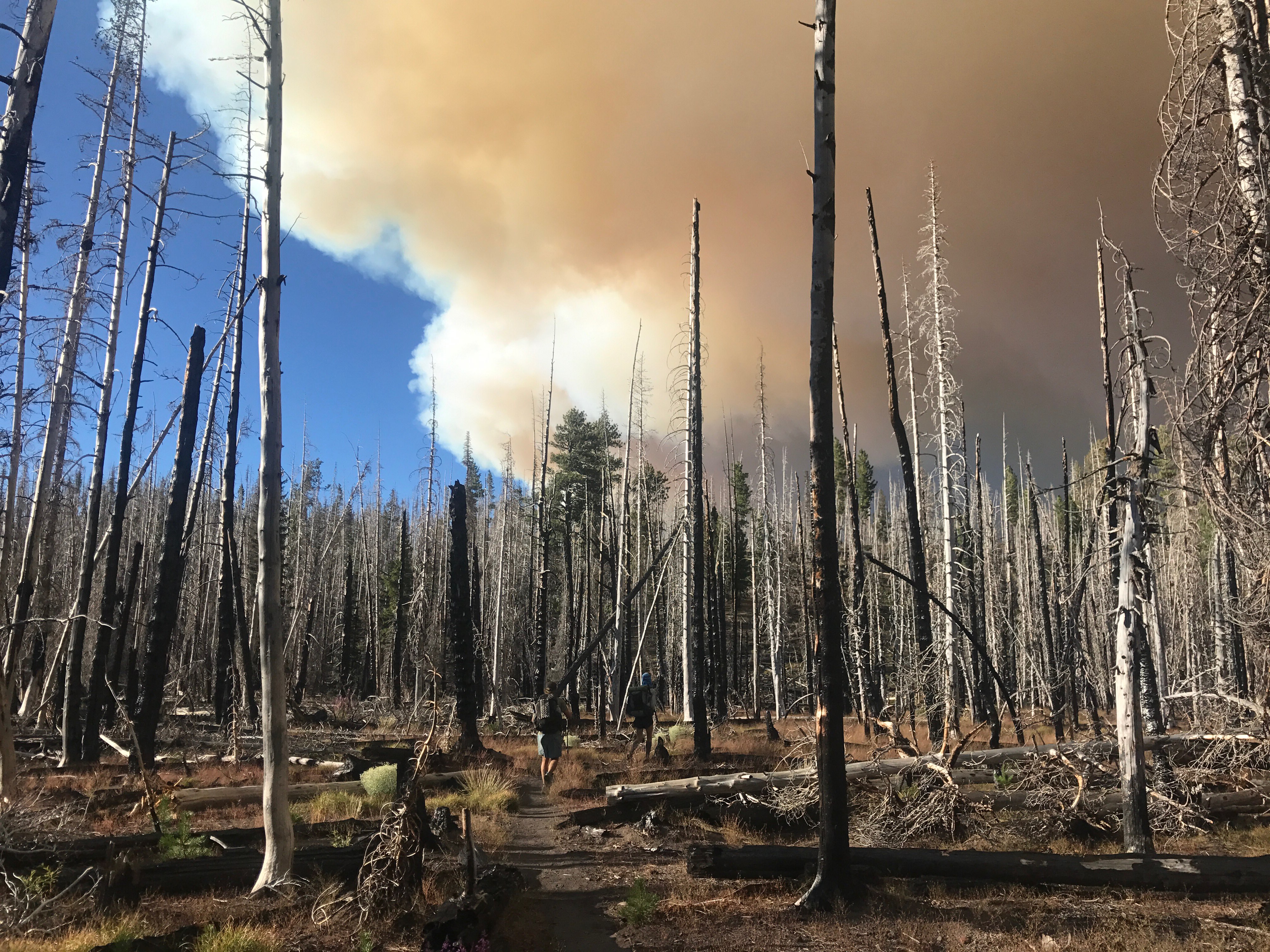
After climbing out of Green Lakes Basin, we saw a huge plume of smoke from one of the fires. The detour seemed to be leading us right towards it!
Eventually we could see the source of the smoke way off in the distance and realized we weren’t going straight into it. It actually seemed pretty far from he PCT and there was no other smoke, so I’m not sure why it was closed.
Tomorrow we’ll make it to the town of Sisters where we’ll decide how to get around the next fire. There’s 28 miles from the highway to the closure, but getting from that closure to the next opening is tricky. How pure do we want our hike to be? That’s what we’ll figure out tomorrow.


